

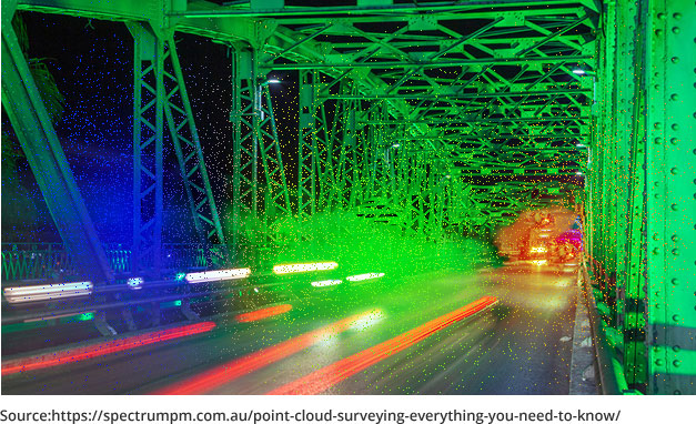
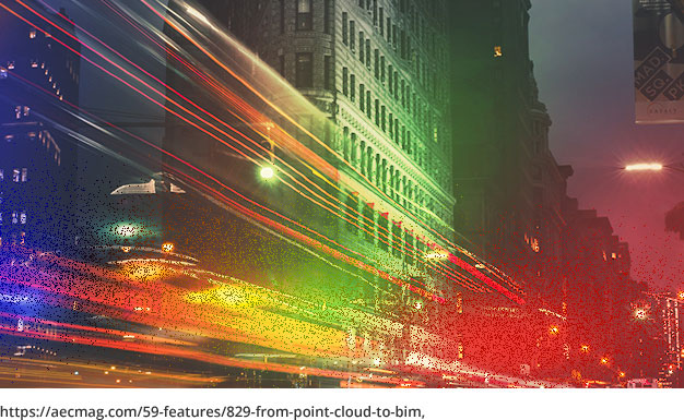
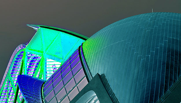
Point Cloud is a collection of data points in 3d space produced by 3D scanners, measuring and recording various points on the external surface of an object. The set of data points captured by the scanner is an accurate as-built of the object and space.
Point clouds are used to develop 3D Models or surfaces, used for various purposes, like visualization, metrology, quality inspection and animation, rendering, and mass customization. These days several techniques are used to convert Point clouds into 3D models like Delaunay triangulation, alpha shapes, ball pivoting, and cubes algorithm.
Point cloud to 3D BIM model
The Point Cloud data set to an intelligent 3D BIM Model process is accomplished usually in three phases.
Phase 1: Data acquisition
A 3D laser scanner is used for surveying and scanning the targeted area. The data acquired is in a 3D point cloud set as it is in x, y, and z coordinates and covers the external surface of the targeted area of an object.
Phase 2: Data imported to modeling software
The initial data acquired in the point cloud is not visible to us. Thus, for visualization, data management, analysis, and modeling, the point cloud data is first imported to Point-cloud modeling software. Now the digital version of the scanned site can be viewed in the form of pixilation.
Phase 3: Conversion to BIM model
The point cloud data is extracted from the modeling software and imported to BIM-authorized software like ArchiCAD or Autodesk Revit for creating an intelligent 3D BIM model. This BIM software converts the point cloud images into user-friendly formats like .rcs, .rcp, or .pts.

Role of Technology in developing and reshaping point cloud to BIM
The right techniques and technology are required to get an accurate and precise 3D BIM model of real space. LiDAR, Light Detection, and Ranging technology are some of the scanning technologies often adopted by terrestrial laser scanners nowadays. This technique is equipped enough to compile precise and accurate 3D point-cloud data to match the requirement of a detailed BIM model formation. Terrestrial tripod-based laser scanners are used to record interior space, and exterior facades and to reach MEP installations in walls or behind ceilings. NavVis M6 Indoor Mobile Mapping System (IMMS) is used to scan projects with large floor areas.
Another challenging task is to reorganize the raw and heavy point cloud data into an intelligent and effective 3D BIM model, the algorithm-based modeling features embedded in the BIM Software simplify the task. This process is simplified with Automatic feature extraction properties of BIM tools, segment and manage point cloud data into different objects, like, pipework or structural steel, and convert them into 3D models.
This is how it looks when a scan view in the VirtuSurv software processes for BIM modeling in Autodesk Revit. For Sectional and planar views and precise remodeling, data from the point cloud gets extracted from BIM software, like Revit.
Benefits of using point cloud to BIM
The construction industry is approaching ‘Scan to BIM‘ technology for a refurbishment project, conservation project, or to scan any existing building to reap the following benefits.
1. To reduce the time spent on the field
Using a laser scan technique, for the survey of an existing building, reduces the time and effort approximately by 40 percent, and the time spent by technicians to survey and measure the building or site is reduced to a great extent. Manual surveying usually requires 3 to 4 technicians to measure, record, and collect information on an existing site. The amount of information collected in a short period and the reduction in return trips to the site using laser scanners make it an efficient method to survey an old or existing building.
2. A detailed analysis of the building
Earlier it was difficult to find out the problem or issues in design or other structural components of a building for renovation or re-structuring with manual surveying. However, Point Cloud to BIM technology has eased the process with its laser scanning and 3D modeling techniques. A detailed analysis of the building unearths the critical issues before the renovation or demolition of the building. The laser scanners not only cover the outer surface or geometry of the building, but penetrate deeper, covering the walls, ducts, and any patches in beams or pipes. With the 3D model, it is easy to re-design and investigate damaged parts of the building. Cost, budget, and deadline for re-construction also get estimated because of the perfection and accuracy of the model developed using this technology.
3. Enhances collaboration
The designing team, architects, contractors, and users can collaborate efficiently with the 3D model developed from point-cloud images. As the team can view the new design simultaneously, it is easy to detect any bug or pitfall in the new design. The updates required can be suggested and discussed more smoothly and efficiently. The architectural, structural, and MEP teams can come up with their respective opinions, put across the ideas and suggestions to unearth and remove any potential risk, and design issues, and develop an efficient and sustainable design.
4. Design assessment for renovation projects
The scan to BIM technology is widely used for renovation and refurbishment of existing or old projects. With the scanned images, a 3D model is developed containing all the details of the structure, MEP systems, etc. An overall image of the existing structure helps to analyze and create a new design for the project, the proposed design can be validated on various parameters, like sustainability, MEP system effectiveness, structural layout, and other parameters using the data and BIM model. The as-built model generated through scan to BIM gives the advantage of assessing the new design and its parameters compared to the old design. This as-built model ensures more accuracy than the information collected through manual surveying.
5. Reduces overall construction cost
The virtual model or the proposed design helps in detecting any pitfalls or errors before the construction begins. The laser scan technology reduces the costs spent on traditional or manual surveying which is expensive compared to Point Cloud to BIM technology. A cost-effective construction is planned with Point cloud modeling, the detailed and precise 3D model can estimate the cost of materials procurement and project completion. Thus, Point cloud to BIM reduces the overall cost of the construction and surveying cost.
Partner with the Scan to BIM experts at eLogicTech
The ability of Point Cloud Modeling to effectively import 3D physical space to a digital format accurately and enhance or modify the existing digital models makes it a demanding tool in the construction industry. With transparency and precision of the information, the technology is helping businesses with as-built documentation and promotion of health and safety at the site by detecting any potential hazard. eLogicTech has been a BIM modeling service provider for years and has been assisting businesses to achieve a high level of quality assurance at each stage of project design. To learn more about our services, contact us and we will call you back at the earliest.


